We are passionate about driving the value of geodata for faster, safer, and more efficient operations and workflows.
Revolutionize transportation with AI-powered geospatial insights
Airports and Rail
Ask AI: “Show me the inspections done last week by contractor?”
MapChat displays location of inspections performed on map and also provides the breakdown of results — helping with oversight, compliance, and audit over routine operations.
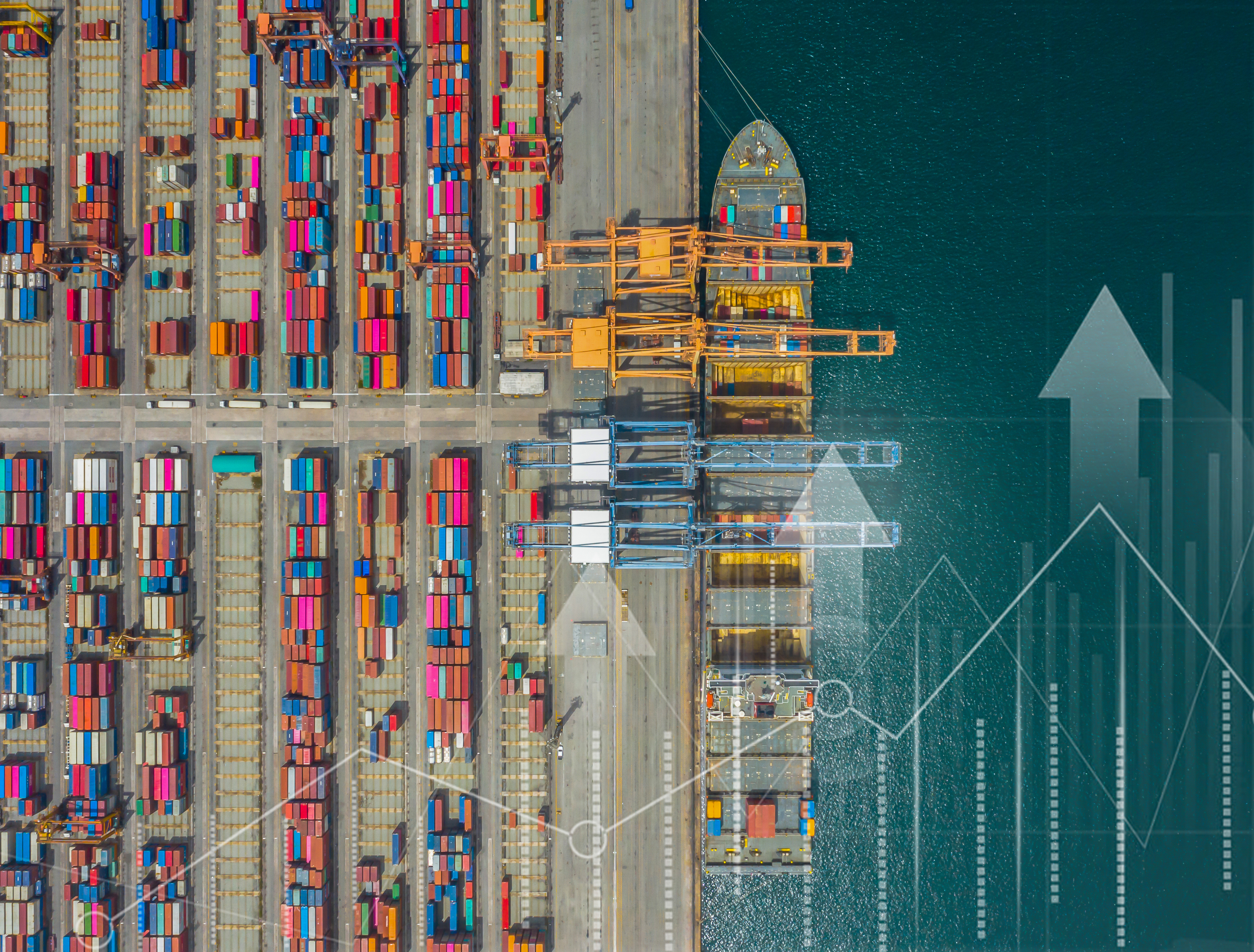
Ports
Ask AI: “Which shipping routes were used by the vessel type of interest in the last two years?”
MapChat highlights the routes on the map along with the frequency— enabling smarter route planning, reduced bottlenecks, and seamless cargo movement.
Roads, Highways, and Transit
Ask AI: “Show me maintenance work orders performed along the route of interest?”
MapChat displays the locations of the work orders and also provides a count — allowing decision makers to make operational decisions within budget constraints.
MapChat for Transportion
MapChat transforms complex geospatial data into real-time, actionable intelligence—no GIS expertise needed.
Airlines and Rail can sustain safety by improving oversight on inspections for planning, security, compliance, and passenger experience.
Ports can simplify their geo-spatial workflows for sustainability, operations, performance management, safety, and strategic asset management.
Roads, Highways, Bridges, and Transit can improve planning, environmental sustainability, project delivery, operations, maintenance, and safety.
Faster insights, smoother logistics, and greater efficiency—powered by AI.


An in-depth look at how AI Agents in geodata will change your work.
Organizations are sitting on a goldmine of geographic data, from detailed network maps to real-time transport insights. But too often, this valuable information goes unused. The key to smarter decisions and real business impact is putting data in the right hands. Learn how to unlock its full potential. Download the whitepaper now.


